Cloud Type Identifier Online Free — AI Sky & Weather Helper
What Type of Cloud Is This? Upload a sky photo for instant cloud identification and classification with AI. Learn cloud types (cumulus, stratus, cirrus, and more) and cloud species, typical weather, altitude, and formation—perfect for students, photographers, and weather enthusiasts.

ALL Cloud Types
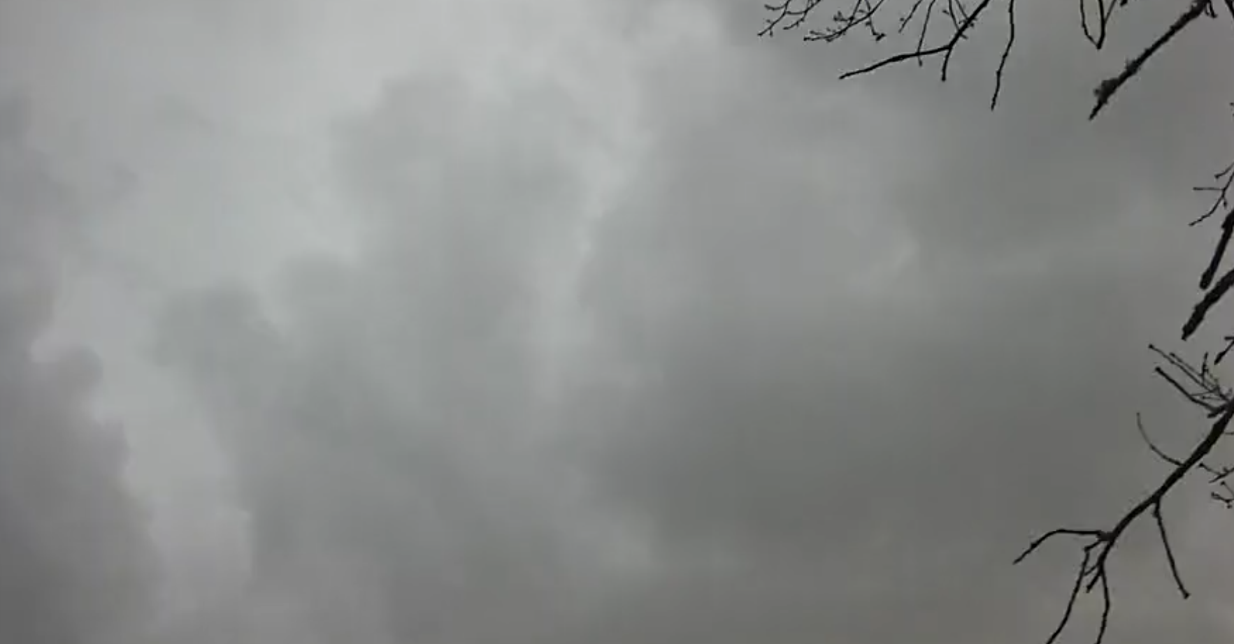
Stratus
Uniformly distributed gray clouds with subtle variations in density creating a muted atmosphere. The clouds exhibit a relatively flat base with minimal vertical development visible in the image. The overall appearance shows widespread coverage without distinct cloud boundaries or individual cloud formations. The grayish-white coloration indicates substantial water vapor content and potential for light precipitation.
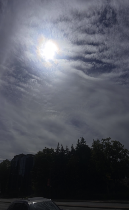
Stratocumulus
Predominantly gray with interspersed lighter patches; exhibits wavy, rounded cloud masses forming a layered structure; moderate vertical extent, with a relatively flat base and slightly undulating upper surface; no visible precipitation or distinct halo/iridescence phenomena; cloud tops show subtle textural variations indicating mixed water droplet and ice crystal composition.

Cumulonimbus
Dark gray in color due to high moisture content and shadow effects, exhibits substantial vertical tower structures with irregular, billowing outlines. Surface texture shows evidence of turbulent convection, with a relatively flat base featuring minor undulations. Tops display early signs of anvil formation, though not fully developed. Overall appearance indicates a mature storm system.
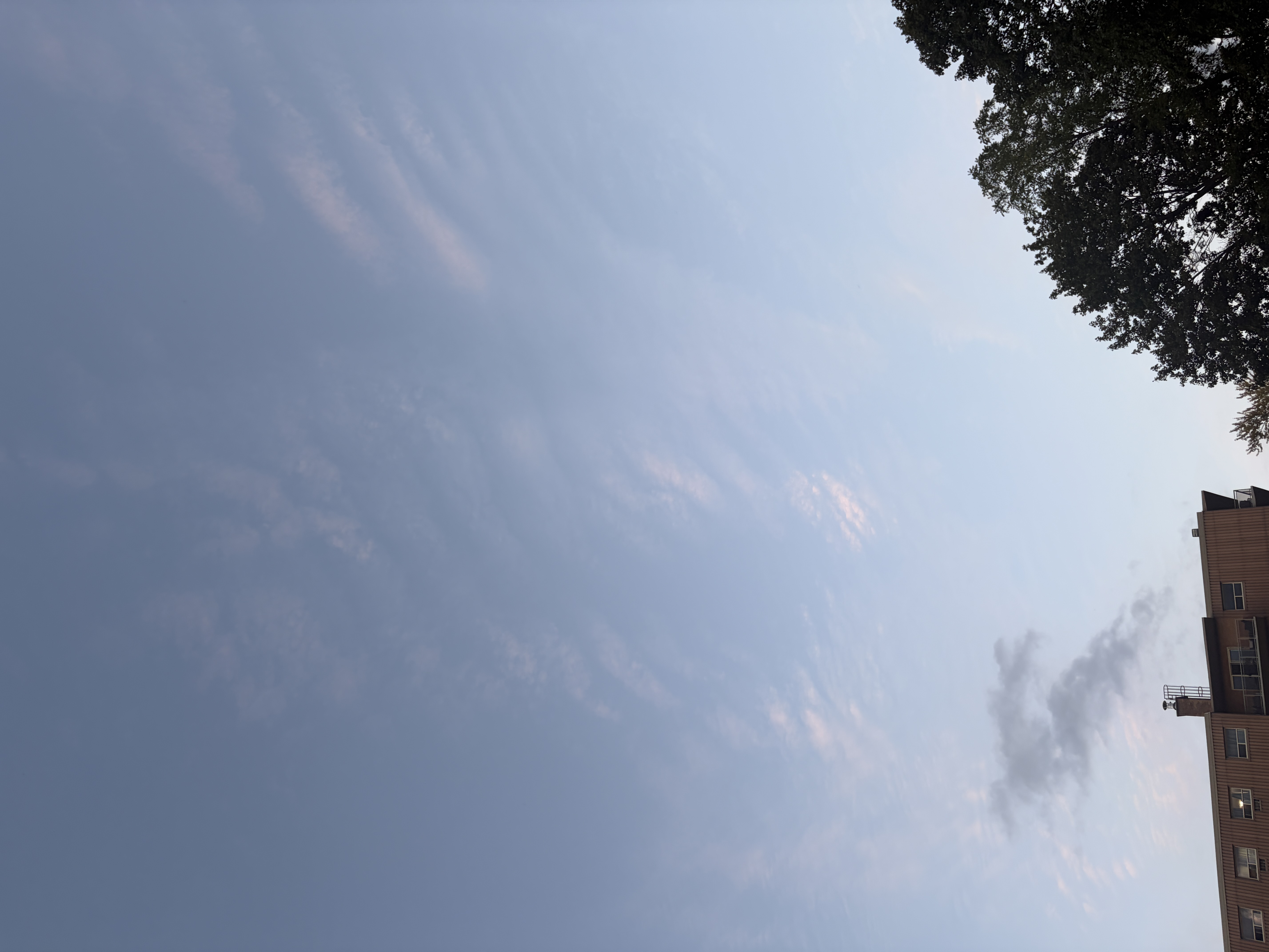
Cirrostratus
Pale, thin, wispy cloud formations at high altitude; transparent appearance allowing sunlight to filter through; scattered across the sky with minimal coverage; cloud tops display smooth texture with subtle filamentous structures; base not distinctly defined as they extend broadly across the sky.
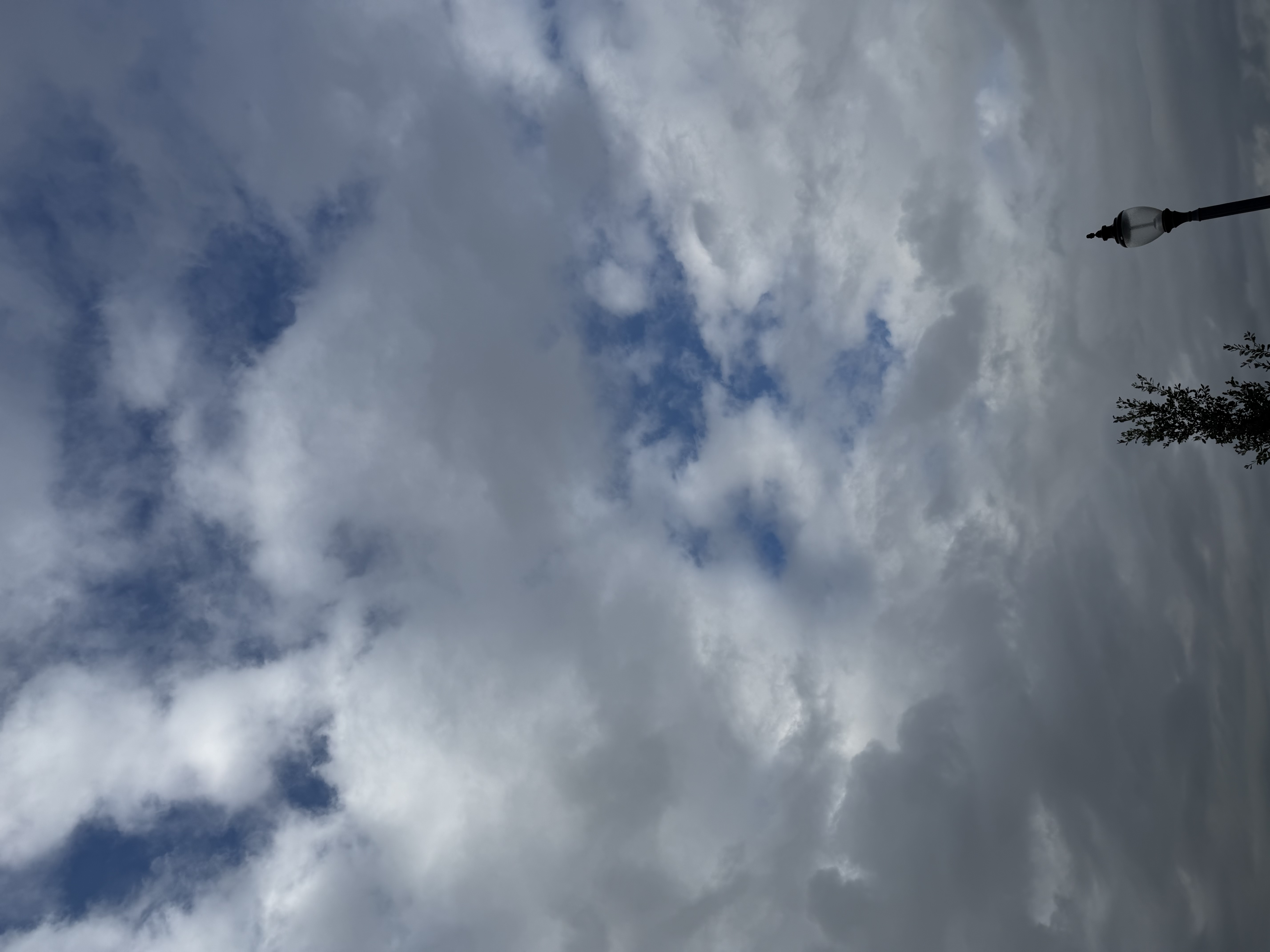
Stratocumulus
Dominant cloud type consists of large, rounded masses with a wavy, layered appearance. Clouds exhibit varying shades of gray-white, with darker areas indicating greater cloud thickness and moisture content. The cloud base maintains a relatively flat profile while cloud tops show rounded, fluffy formations. Some areas display subtle pouch-like structures (vesiculation), characteristic of stratocumulus varieties. Gaps between clouds reveal blue sky, suggesting moderate cloud cover. Overall texture is somewhat uniform yet varied by individual cloud forms.
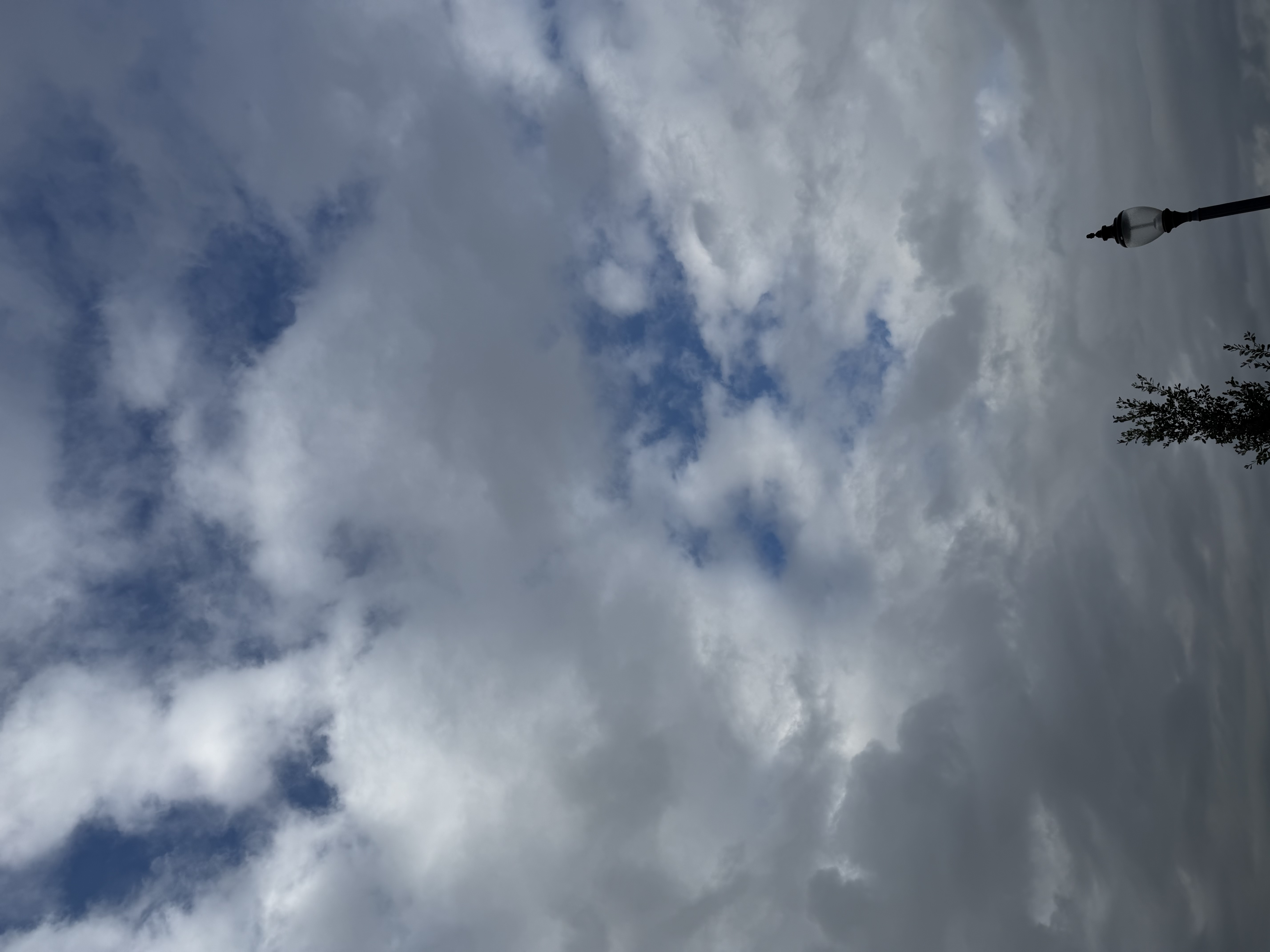
Stratocumulus
The clouds exhibit a layered, stratiform structure with patchy distribution. They appear predominantly gray-white in color with varying opacity levels. Individual cloud elements show rounded, cumulus-like forms with distinct outlines. The cloud base is relatively flat while cloud tops display moderate vertical development with soft, rounded edges. Some areas show partial coverage creating alternating light and shadow patterns across the sky.
Trusted for sky & weather learning
Why use our cloud identification tool?
Built for cloud classification, weather literacy, and great sky photos
AI cloud recognition
Models trained to distinguish major cloud genera and species from real sky photos for reliable identification
Instant classification
Get cloud type, structure hints, and context in seconds—ideal for field checks and homework
Meteorology-aware
Relates each type to typical weather, altitude bands, and formation—aligned with cloud atlas concepts
Free tier
Try cloud identification without a subscription; upgrade when you need more credits
Mobile friendly
Use your phone camera on the go—works on phones, tablets, and desktop browsers
Rich explanations
Learn characteristics, photography tips, and what the clouds may mean for upcoming weather
How cloud identification & classification works
Upload a sky of cloud photo
Upload or capture an image that shows the clouds clearly against the sky.
AI analysis
Our model evaluates shape, texture, height cues, and context to suggest the most likely cloud types.
Read your report
Review classification, similar types, typical weather, altitude, and tips for better sky photography.
Frequently asked questions: cloud identification & classification
What is cloud identification and how does classification work here?
Cloud identification names what you see in the sky (for example cumulus or cirrus). Classification follows meteorological schemes such as genera, species, and varieties based on shape, height, and structure. Upload a clear sky photo and our AI suggests the best-matching types with plain-language explanations.
How accurate is AI cloud identification?
Accuracy depends on photo quality, lighting, and how typical the scene is. Clear edges, natural color, and enough sky context help the model separate similar layers (e.g., stratus vs. nimbostratus). Treat results as educational guidance, not a substitute for official forecasts or aviation weather briefings.
Is this tool free to use?
You can start on a free tier with limited analyses; Pro adds more credits for frequent cloud identification and classification. Check the pricing page for current limits.
Which cloud types can you identify?
The system is oriented toward major genera and common species—cumulus, stratus, stratocumulus, altocumulus, altostratus, nimbostratus, cirrus, cirrocumulus, cirrostratus, cumulonimbus, and related variants when visible in the image.
What makes a good photo for cloud identification?
Use daylight when possible, avoid a blown-out sky, and include enough cloud structure (base, top, or layer texture). Wide shots often beat tiny crops; note if the sun is behind the cloud, which can silhouette features useful for classification.
Can I use it on my phone?
Yes. The site is responsive—take a photo with your camera, upload it, and review identification and classification on the spot or after your walk.